Surveys can support preservation, urban planning, and design innovation. Through detailed documentation and advanced analysis techniques, we assess structural integrity, historical significance, and cultural relevance. Our surveys serve as comprehensive roadmaps for urban development, restoration projects, and regulatory compliance.

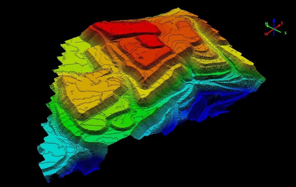
Lidar surveys utilize laser technology to measure distances and generate highly accurate 3D representations of the surveyed area. By emitting rapid pulses of light and measuring the time it takes for them to return, Lidar systems create detailed point clouds, capturing the precise shapes and elevations of objects on the ground. These surveys are invaluable in various fields, including urban planning, forestry management, archaeology, and infrastructure development, due to their ability to provide comprehensive data quickly and efficiently, even in challenging terrains or environments.
Our drones are equipped with LiDAR cameras that reach up to 50.000 points per square meter, resulting in high accuracy xyz-coordinates documentation.
Our team has accumulated more than 240 hours of flight time with our advanced drones.
Over the years, we have been able to survey more than 600 acres of land & property.
From architectural assessments to social impact analyses, our reports offer comprehensive data, empowering you to make informed choices, mitigate risks, and drive success.

Your Trusted Partner in Property Development.